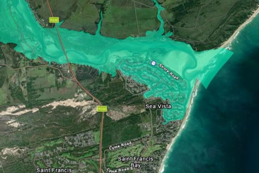
Draft Basic Assessment Report - Proposed Expansion of development footprint on Erf 631, Sea Vista, St Francis Bay, Kouga Local Municipality
Approximate central coordinates of Erf 1220: 34° 8'34.19"S ; 24°49'52.15"E
In terms of National Wetland Map (NWM5) the site falls within the Kromme Estuarine Functional Zone. More than 5 cubic meters material will be removed / deposited for the proposed renovation. Expansion will fall within 100 meters of highwater mark of the Kromme estuary.

End Date
