The Proposed Construction of a Boundary Wall and Storage Area with a Viewing Deck on Erf 3132, Sea Vista, St Francis Bay, Eastern Cape
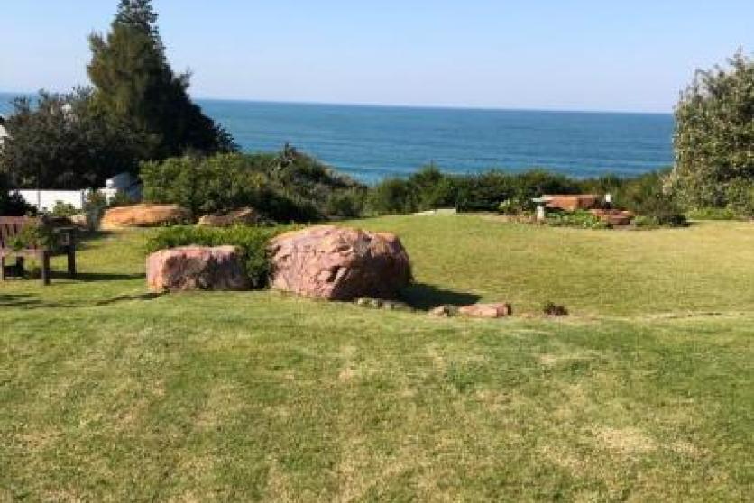
Erf 3132 is located between Lovemore Crescent and Harbour Road, Eastern Cape – GPS Coordinates: 34°10'13.67"S 24°49'57.27"E. Approximately half of the property (eastern side) has been surveyed as being within 100 meters of the High-Water Mark of the Sea.
The proposed development will entail the construction of:
1. A boundary wall to join the existing one along the lateral edges and on the Harbour Road side. The wall will be 65m in length with a strip foundation of 600mm wide and 230mm deep.
2. A storage area measuring 7m wide x 5m long x 2,4m high with a viewing deck above. The land underneath the deck is proposed to be excavated to make a storage space for water sports equipment, providing the owner easy access to get to the water with their necessary equipment using the existing pathway from the property leading onto Harbour Road.